

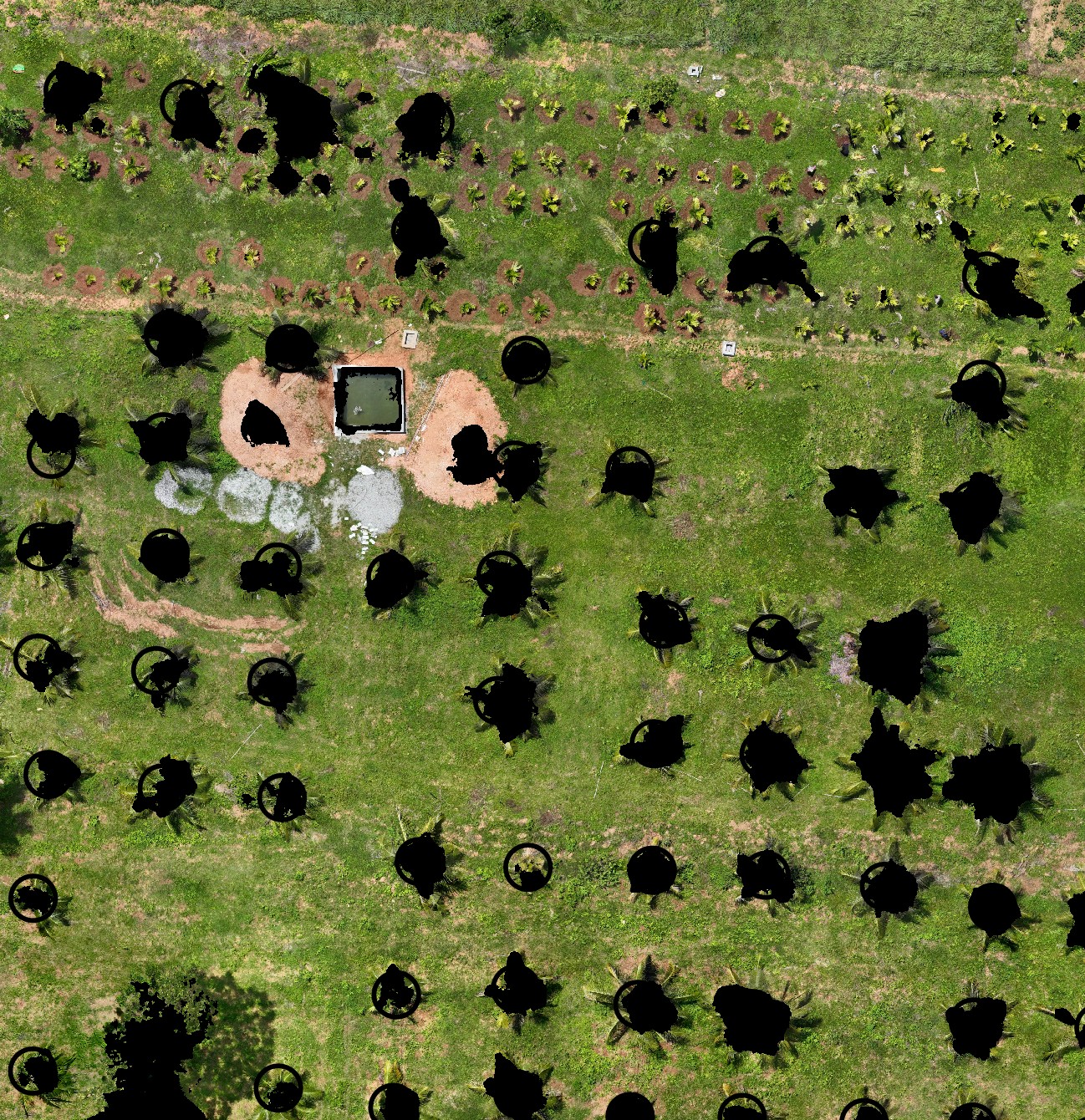
A canopy mask is a binary raster where each pixel is either 1 (canopy — tree or structure above ground level) or 0 (ground). It’s the foundation for any analysis that should ignore bare soil, such as NDVI statistics per plot. This script generates one from your DSM and DTM in a single run.
What it does
The generate_canopy_mask.py script subtracts the DTM (bare earth elevation) from the DSM (surface elevation including trees and structures). Any pixel where DSM − DTM > 0.1 m is classified as canopy (value = 1); everything else is ground (value = 0).
The 0.1 m threshold filters out sub-10 cm noise and rounding errors in the DTM, which would otherwise produce false canopy classifications on flat ground.
Output: canopy_mask.tif saved in the same directory as the DSM, loaded into your QGIS project.
What you need
- QGIS 3.28 or newer
numpy,rasterio(bundled with QGIS)- A DSM raster with “_dsm” in the layer name, checked in the Layers panel
- A DTM raster with “_dtm” in the layer name, checked in the Layers panel
- The
generate_canopy_mask.pyscript from the Drone Mapping, Terrain & Multispectral Analysis QGIS Package
Steps
- Load your DSM and DTM rasters into QGIS. Make sure their layer names contain
_dsmand_dtmrespectively. - Check (tick) both layers in the Layers panel.
- Open Plugins → Python Console → Show Editor.
- Paste the script and click Run.
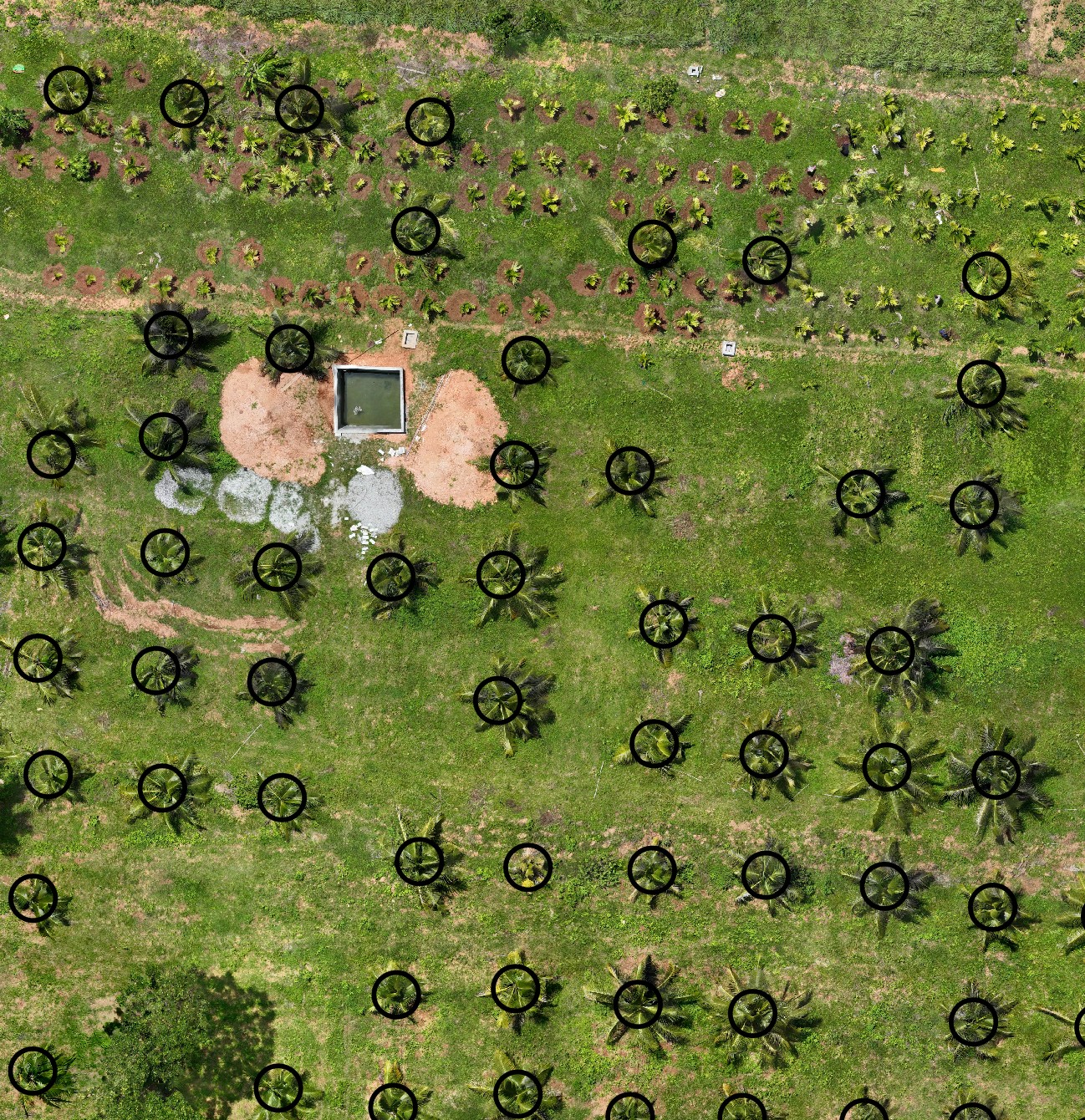
The canopy mask is saved alongside the DSM and added to your project automatically. Before — buffered crown polygons over the orthomosaic, no mask yet:
After — the binary canopy mask, solid black where canopy was detected:
This is one step in a complete per-tree health workflow that uses this same canopy mask to compute canopy-only NDVI per tree.
Using the canopy mask
Once generated, the canopy_mask layer is what canopy_ndvi_median_calc.py looks for by name when computing per-plot NDVI statistics. Keep the layer name as canopy_mask — the NDVI script matches it exactly.
You can also use the canopy mask with raster_mask_generator.py to isolate canopy-only pixels from any other raster.
Adjusting the threshold
The 0.1 m threshold is hardcoded in the script. To change it, open the script and find:
canopy = (chm > 0.1).astype(np.uint8)
Replace 0.1 with your desired minimum height above ground to be classified as canopy.
Get the script
generate_canopy_mask.py is part of the Drone Mapping, Terrain & Multispectral Analysis QGIS Package — all 16 QGIS automation scripts at $99 USD.